-40%
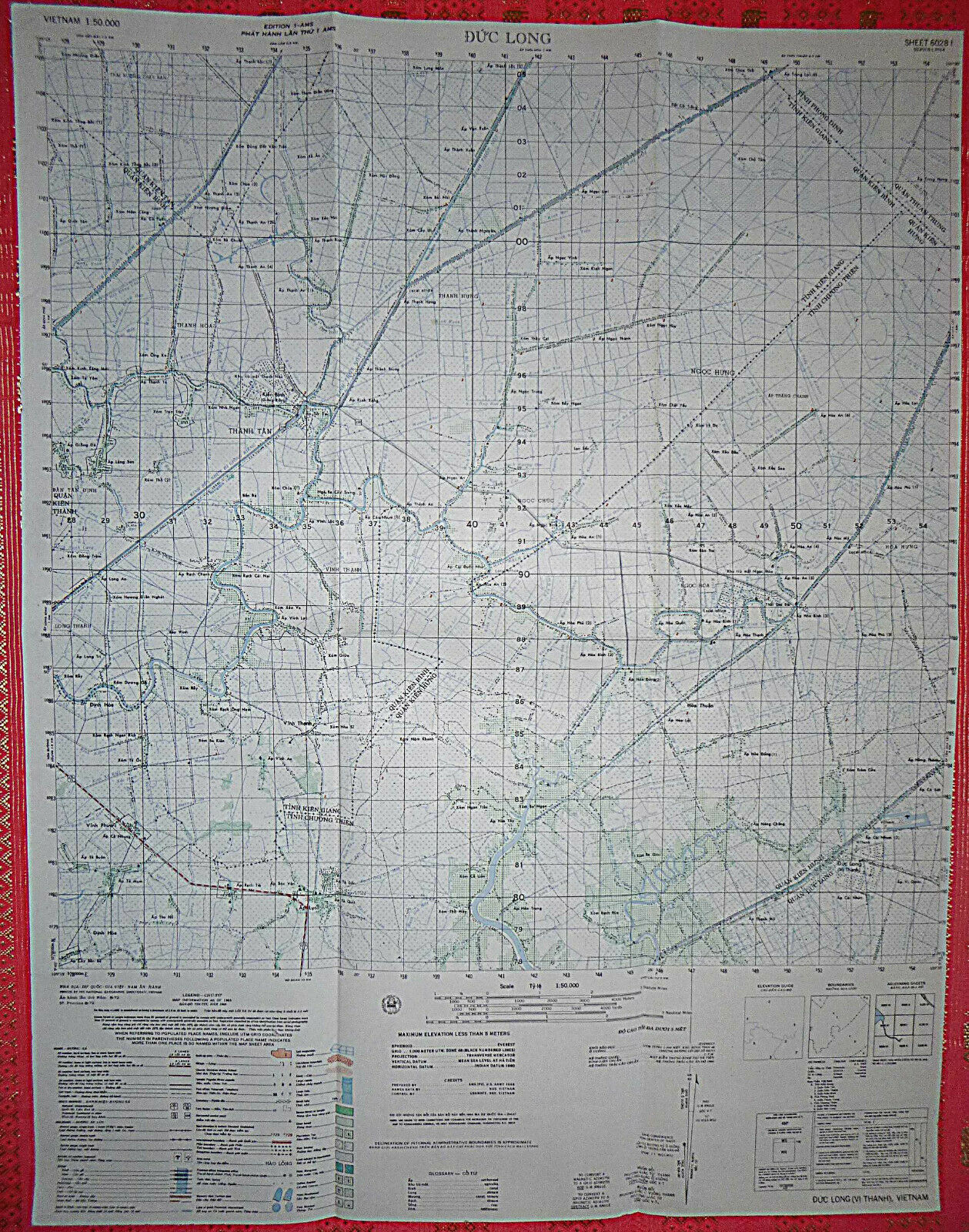
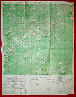
Vietnam War Color Photomap Of KIEN THANH District - Sheet 6028 IV Series L 7104
$ 7.39
- Description
- Size Guide
Description
Your browser does not support JavaScript. To view this page, enable JavaScript if it is disabled or upgrade your browser.Vintage original Vietnam war color photomap of KIEN THANH district of KIEN GIANG province sharing border with CHUONG THIEN province - information charts and data tables as of year 1965. Map measures 22.5" wide by 29" tall, good for wall display. This fourth printing was in June 1970, by the National Geographic Directorate, South Vietnam.
Worldwide shipping includes tracking information. For any unsatisfactory reason, item can be returned within 30 days for full refund of purchase price (less S&H fee).
We gladly combine your winning items for a reduced postage fee. Please email us for a quote. For more selection, please visit our eBay store. Thanks !


