-40%
6132 ii - KH TRAPEANG PHLONG - 1969 MAP - Cambodia Military Limit - Vietnam War
$ 63.35
- Description
- Size Guide
Description
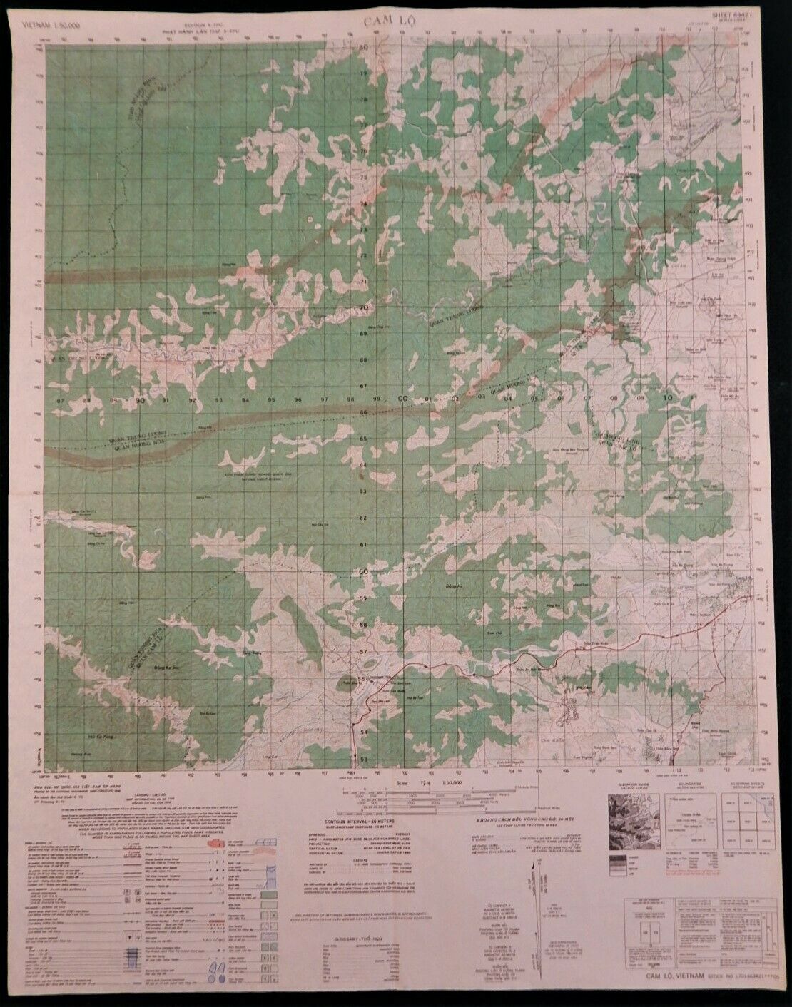
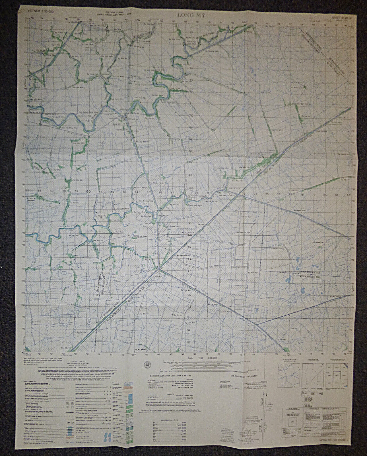
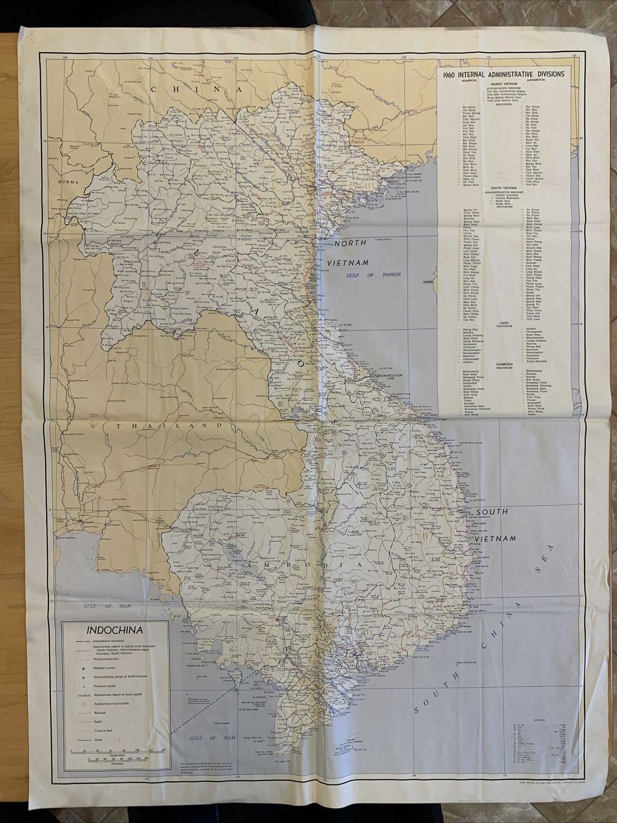
For your Kind Consideration.Vietnam War - US Military Map - Kh Trapeang Phlong - Cambodia - Vietnam Tay Ninh Border - HCM Trail
Military Operational Boundary - Boundary Alignment Indefinite
Very Rare - Map 6132 ii - June 1969 - For the Viet Cong this was one of the most important areas of operation throughout the entire field of conflict. This was the last stage of the Ho Chi Minh Trail before goods and operatives entered South Vietnam from North Vietnam and Laos through Cambodia.
For US Operatives it was one of the most dangerous areas of operations from the start through to the end of the war. Titled Kh Trapeang Phlong this map straddles the border between Cambodia and South Vietnam at Tay Ninh and Phuoc Ninh Provinces. Includes Highway 22 and shows the 'Military Operational Boundary' (Supposed area where US operations stopped before entry to Vietnam, regularly ignored by US Special Forces and CIA Operations and en masse by US Troops in the invasion of Cambodia in 1970, a year after the printing of this piece).
For US Operations, the only ground operations in this area were Black Ops, US Special Forces, US Ranger Commando and Mobile Strike Force, Mercenary Forces under US Special Forces. It was considered in large, a Free Fire Zone. It was in effect under the control of the Viet Cong and their Cambodian Allies, the Khmer Rouge.
This area was known as a 'Free Fire Zone' - Leaflets dropped over a long period of time advised locals to remove themselves from this area as everything inside this zone was considered enemy and was to be destroyed.
The French had previously sent numerous ground operations into this area never to be seen again. The South Vietnamese attempted infiltration into this area early in the war and met the same fate. This area effectively remained in the hands of the Viet Cong throughout the conflict.
The US Army staged an Incursion (Invasion) into Cambodia through this general area in 1970.
US MILITARY MAP - Very Rare
Measures - 29 x 22.5 inches (74 x 59 cms)
Printed - June 1969
Series L 7014
Command Control, North, South, Central, MACV, Special Forces, SOG, Special Op’s, Special Operations Group, 5 th Special Forces, Army Security Agency, Military Intelligence, Psy-Ops, US Army, De Oppresso Liber, Airborne, 1 st Special Forces, CIDG, Mike Force, Mobile Guerrilla Force, Mobile Strike Force, Operations Detachment, Provincial Recon Unit, Recon Teams, RT, USMC, United States Marine Corps, Vietnam War, WWII, WWI, French Indochine War, French Foreign Legion, Legion Etrange, Project Omega, Recondo School, Rapid Fire, Project Delta, Special Missions Advisory Force, Project Gamma, Project Sigma, Indigenous Troops, MACV-SOG, CCC, CCS, CCN, USARV, SMAG, TAG, Field Training Command, Recon Team Leader, US Navy, Air Force, AATTV, Long Tan, Nui Dat, AAFV, ATF, New Zealand V Force, Big Red One, 1st Infantry Division, 1st Cavalry Division, Tropic Lightning, 25th Infantry Division, Subdued, Patch, Patches, Uniform, Helmet, Flash, Beret, Arc, Tab, 101 st Airborne Division, 82nd Airborne, 173rd Airborne, Combat, Militaria, Medal, Badge, Map, 199th Infantry Brigade, Old Ironsides, 5th Infantry Division, MAAG, USARPAC, XXIV Corps, 23rd Infantry Division, Americal, 38th Infantry Division, Black Op’s, Clandestine, Non-Conventional Warfare, 11th Infantry Brigade, 11th Armored, 196th , 1st Aviation, 18th Engineers, Medic, Medical, Viet Cong, VC, Viet Minh, Dien Bien Phu, Saigon, Tiger Force Rangers, Ranger, Logistical Command, Khe Sanh, POW, RVN, ARVN, South Vietnam, North Vietnam, NVA, Hanoi, Siagon, Phan Rang, LLDB, Bright Light, Free World Forces, Company, Platoon, Patrol, Long Range, Special Forces, ARVN, Green Berets, Elite, Recon, Reconnaissance, CCN, CCC, CCS, MACV SOG, SOA, Paratrooper, Parachutist, Vietnam War, Special Operations, Military, Tiger, Ranger, Route, Team, VC, NVA, Viet Cong, Command Control, Republic of Vietnam, Assault Helicopter Company, Gunship, Spooky, US Air


